Integration Overview: GeoMaps puts your ActiveCampaign contacts, accounts, and deals on an interactive map — geocoded and kept in sync — so you can build sales territories, plan routes, and see your pipeline geographically.
Is This Integration Right for You?
GeoMaps is built for teams whose work is tied to location. It's a fit if you: (1) run a field sales or service team that needs routes and territories; (2) work in real estate, agencies, or consulting and manage relationships by region; (3) want to see your ActiveCampaign pipeline on a map instead of a list. If your contacts have addresses, GeoMaps turns them into a map you can act on.
Why use the GeoMaps Integration:
See your CRM on a map
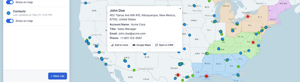
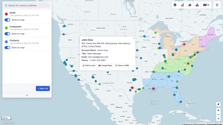
GeoMaps geocodes your ActiveCampaign contacts, accounts, and deals and plots them as pins you can filter, color, and click — no exporting, no spreadsheets. The map stays in sync as your data changes.
Territories & route planning
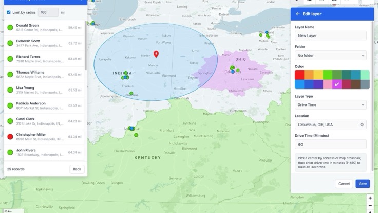
Draw and color sales territories, then filter records by area. Generate optimized multi-stop routes for your reps so they spend less time driving and more time in front of customers.
Heatmaps & dashboards
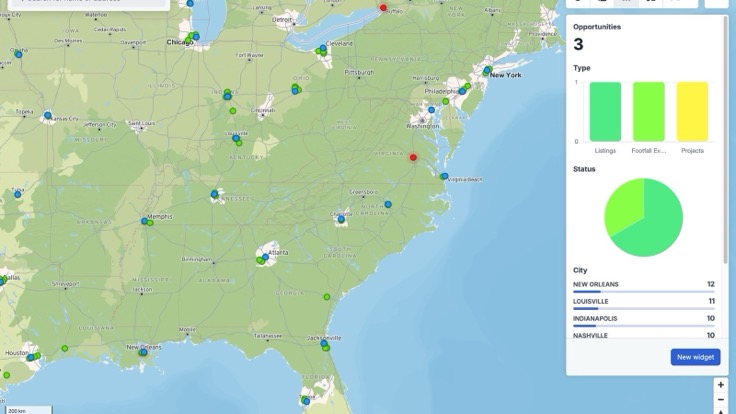
Spot where your business is concentrated with heatmaps, and track counts, revenue, and pipeline with map-linked dashboards — turning your ActiveCampaign data into geographic insight.
Key Features of the Platform:
Map ActiveCampaign contacts, accounts, and deals as live, synced pins
Build and color sales territories; filter records by area
Plan optimized multi-stop routes for field reps
Heatmaps and dashboards for density, revenue, and pipeline
Read-only: GeoMaps never changes your ActiveCampaign data
Generate interactive maps using AI
Quer testar a ActiveCampaign?
Experimente grátis por 14 dias.
Conecte-se com todas as suas ferramentas favoritas